


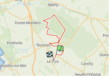

9.4 km | 10.6 km-effort


User


FREE GPS app for hiking
 SityTrail
IGN / Geographical institutes
SityTrail World
The world is yours!
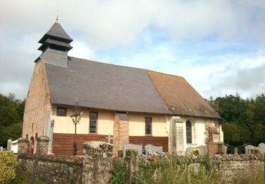
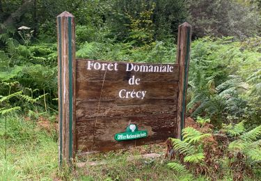
Trail Mountain bike of 26 km to be discovered at Hauts-de-France, Somme, Le Titre. This trail is proposed by marc6262.
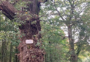
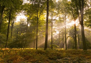
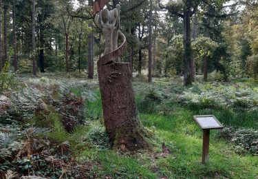
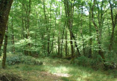
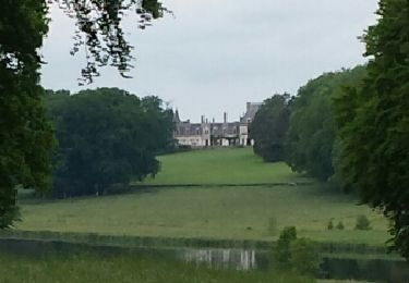
une belle ballade en foret
Singles tout le long des lisières
Chevreuils pas farouches !!
C'est plat mais dans certaines parties peu roulant.

Mountain bike
Walking
Walking

Walking
On foot
Walking
Mountain bike
Walking
Walking